It's not the mountain we conquer, but ourselves. ~ Sir Edmund Hillary
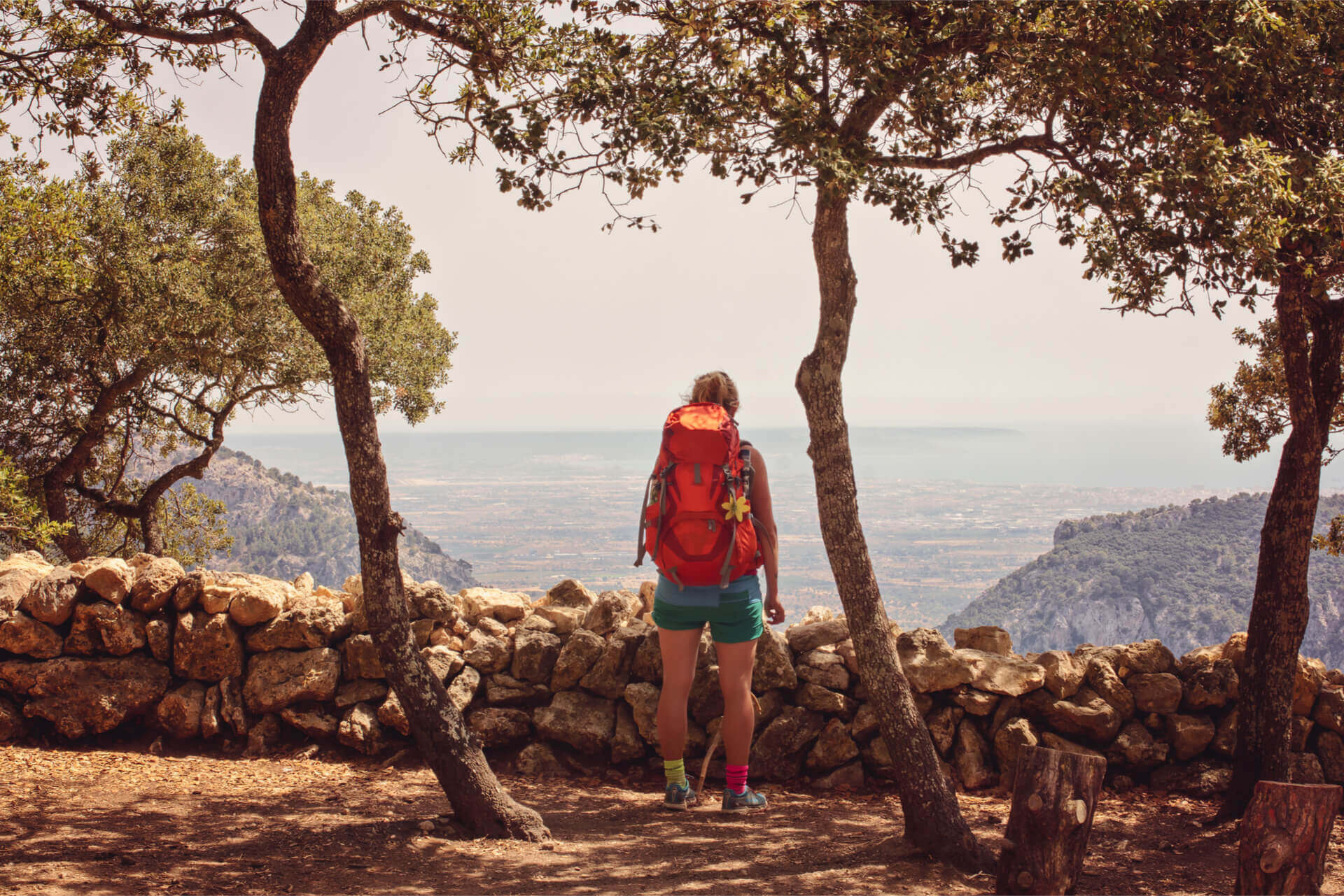
During the quieter and cooler months of the year, Mallorca becomes a paradise for fans of the Great Outdoors. Hiking and walking are great ways to explore the island, all for the price of a pair of sturdy comfortable shoes! Let the Affordable Mallorca team be your tour guides to hikes all over the island, so you can choose the ones that best suit you!
Mallorca's Mountain Ranges #
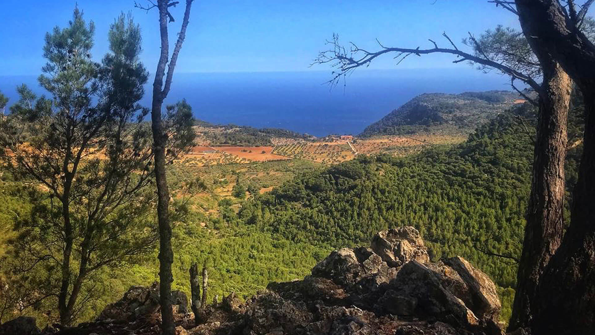
Mallorca has two mountain ranges: The lower Serra de Llevant in the northeast with its highest peak, the Puig Morei, standing at 564 m; and the Serra de Tramuntana running all the way along the northwest coast of the island. It has an overall length of 90 km and, is up to 15 km wide in some areas, and covers approximately 30% of the Mallorca's territory. It's highest peak is the Puig Major with 1,445 m followed by the Penyal de Migdia with 1,398 m.
In 2011, the Serra de Tramuntana was declared a UNESCO World Heritage Site in the cultural landscape category,
UNESCO World Heritage Site #
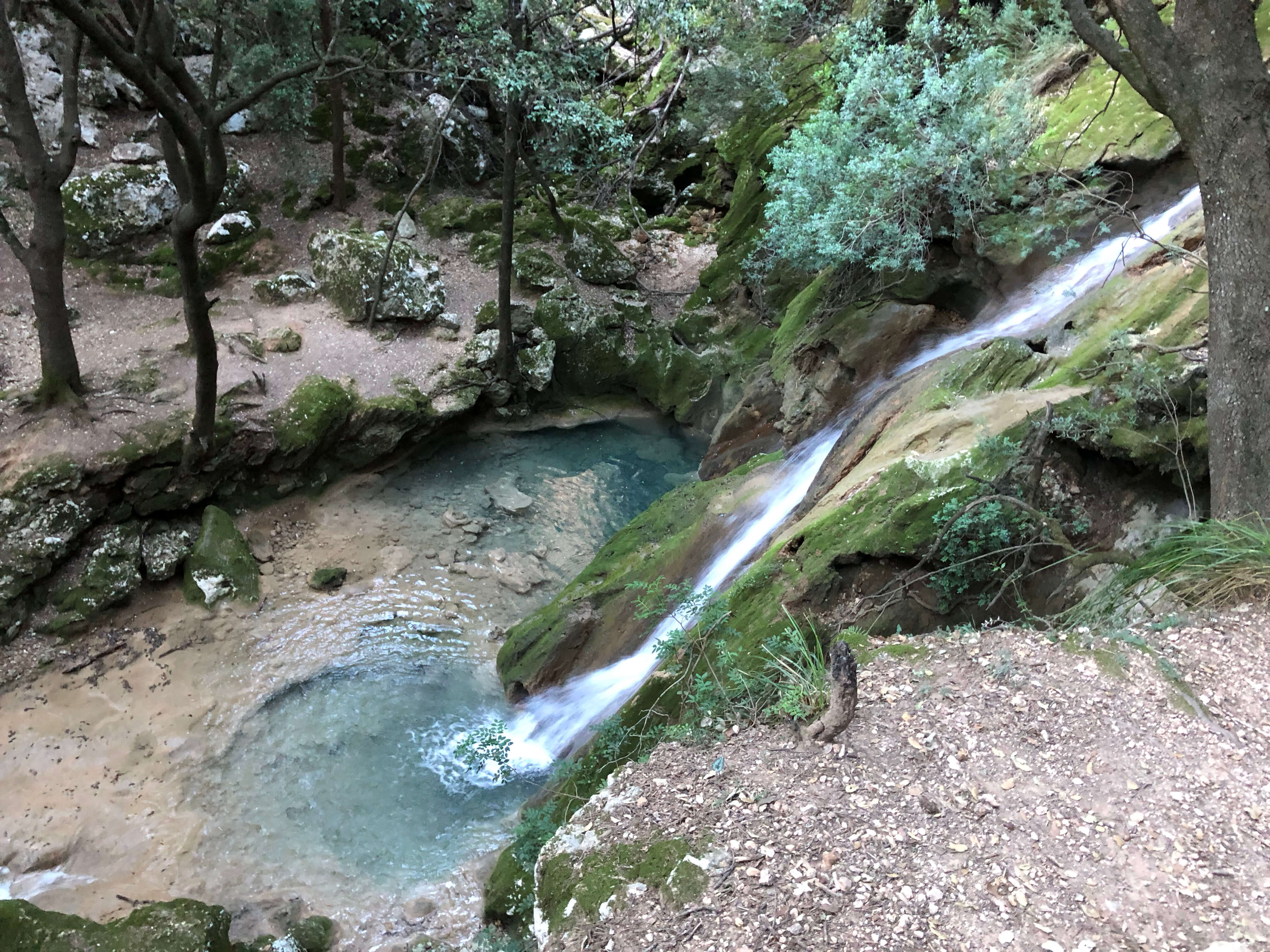
In 2011, the Serra de Tramuntana was declared a UNESCO World Heritage Site in the cultural landscape category with a view to the wealth and diversity of its scenery - partly natural and partly man-made -, with holm oak and pine forests alternating with farmland, terraced olive groves and citrus or almond tree plantations in the valleys. All of this in combination with the most spectacular panoramic seaviews make Mallorca a ture hikers' paradise. The Sa Dragonera Nature Reserve as well as a number of other protected areas of special interest (Áreas Naturales de Especial Interés - ANEI), the marine reserves of the island of El Toroand the Illes Malgrats, and the natural monuments of Torrent de Pareis and Fonts Ufanes all form part of the Heritage Site. In addition, there are several public estates that can be visited, some of them featuring signposted routes and shelters for hikers.
"Millennia of agriculture in an environment with scarce resources has transformed the terrain and displays an articulated network of devices for the management of water revolving around farming units of feudal origins. The landscape is marked by agricultural terraces and inter-connected water works - including water mills - as well as dry stone constructions and farms." – Unesco World Heritage Website
The Best Routes #
Sa Trapa and the Galatzó: Coastline to Mountaintop
One of the most spectacular views of the western coastline with local flora and fauna.

The GR221: The Longest Trail on the Island
Connecting the coast to mountains, hiking through valleys with native bees and other native species.
Lloseta to Santa Llucia
A Saint's Walk through Villages and Strenuous Terrain - Central and Inland

Randa to Santuari di Cura
Three of the most well-known Hermitages (Ermitas) on the island with Papal recognition of sacred spaces. You'll have an spiritual experience.

Santa Maria to Orient
This inland trail harkens back to the island's roots and rural beauty. Many believe this area is a sacred portal to other realms.
The Archduke Way
Great details in this article that are useful since the trail isn't clearly marked in places. Stunning western trail.
Guell to LLuc on the Night of the Pilgrims
During the month of August, every night, this is a Modern Pilgrim's dream. Details on how to join.

Rock Climbing
Great team sport - An overview of rock climbing on Mallorca.

Free Guided Hike on Ancient Road to Sóller
Step back in time as you walk this path - northern area of the island full of sweet scenes through the villages.

Sources
https://whc.unesco.org/en/list/1371/
#HikingMallorca #WalkingMallorca #NatureHikesMallorca #ClimbingMallorca


Por Ulla Rahn-Huber
4 enero, 2023